
#66. Katahdin (again): 31 July 2026

Updated: Aug 5
In August 2025, I had hoped to summit Mount Katahdin in Maine one final time. With the help of my personal sherpa and guide Julie Hernandez, I made it (excursion # 58)! After that, couldn't I have left well enough alone?
In spring 2026, Dave Covill, President of the Highpointer Foundation, mentioned that he was thinking of hiking Katahdin with his 12-year-old grandson Max. The year before, his granddaughter Eden had set the record for youngest female to complete 49 United States high points (i.e., all except Alaska). Now Max needed his turn. I’m not sure if I got invited to join the expedition or just annexed myself as the plan evolved. Later, my daughter Katy heard I'd be doing Katahdin and asked to join, along with a couple from NYC (via New Orleans/Tulane), Lauren Senette and Fabio Giraldo.
The target date was July 31, 2026. We were lucky to get two Katahdin Trailhead passes that would allow us to park our cars at Roaring Brook. Without them, we couldn't get into Baxter State Park.
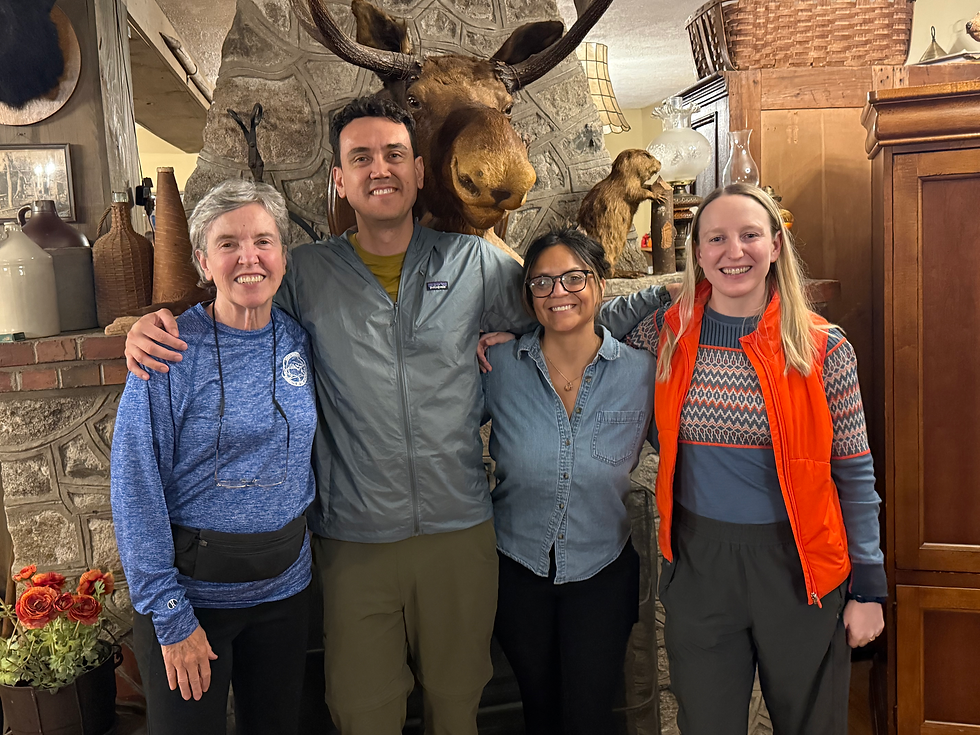
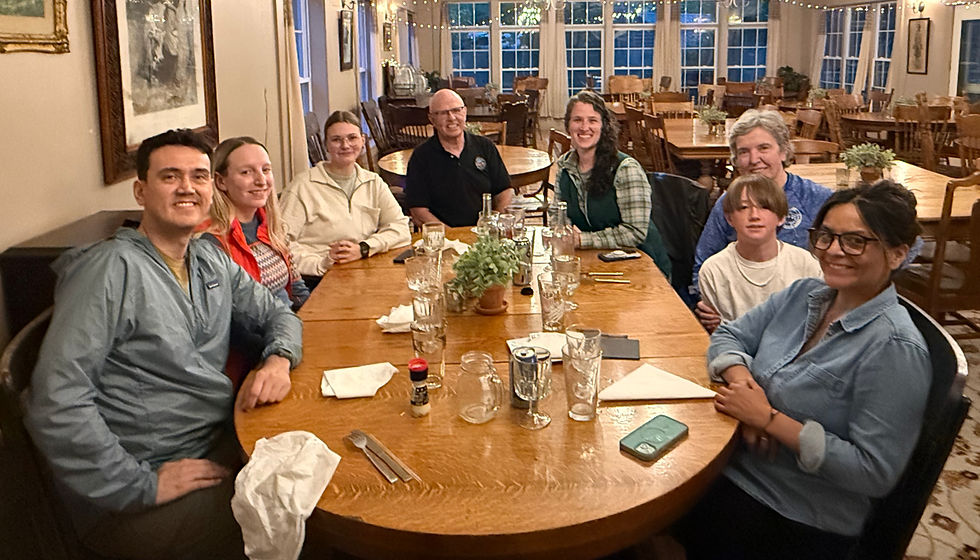
Several months in advance, we also made reservations at Big Moose Inn, the closest lodging to the Togue Pond entrance gate to Baxter State Park. Dave and I took advantage to do some Highpointer Foundation business over dinner, meeting up with two young women associated with Friends of Baxter State Park (an organization to which the Highpointer Foundation donates).
On the day of the hike, we drove the 11 miles from Big Moose Inn to the the entrance gate. After miles in the deep Maine woods, we came upon a sea of cars, all awaiting the 6 am opening of the Park. We smugly joined Line 1, reserved for cars whose drivers had a Katahdin Trailhead pass. Those hoping to get into the park on a standby basis formed a parallel Line 2. When our turn came, the ranger gave us the routine spiel on "no firewood, pets, or drones," and offered us a map, which I took.

We managed to get to the trailhead at Roaring Brook for a 7:30 AM start, some 30 minutes later than the ideal,but still acceptable. We organized our packs, signed in at the Ranger station, and took off for what would be a full day's hike.

Max, Fabio, Dave, and I took the lead, bounding along the trail, falling into easy conversation. We assumed that Katy and Lauren were behind us, bringing up the rear. But 15 minutes into the hike, Dave looked back and mentioned that they were no where in sight. We stopped for ten minutes, waiting for them to catch up. When they didn't appear, we surmised that they must have taken a wrong turn shortly after leaving the trailhead. Was I concerned about the health and safety of my daughter? Not at all. Rather, I was worrying how I would write up this misstep in chronicling this excursion, since I try to avoid putting my fellow hikers in a bad light in these accounts.

It was decided that Fabio would return to the Ranger's station in hopes of finding Katy and Lauren. Dave produced a set of bright orange walkie-talkies and gave one to Fabio so he could let us know what he found. Some 10 minutes later, we heard the static of the walkie-talkie. Despite garbled transmission, Fabio reported that Katy and Lauren weren't there. He had discussed our predicament with the nice female ranger on duty, but she did not remember seeing them. She suggested that we break into three groups, so I returned to the Ranger's station to join Fabio, while Dave and Max awaited further instructions.
When I rejoined Fabio, he was waving a xeroxed map in the air and excitedly explained that the Katy and Lauren were on the RIGHT trail; we were the ones that had taken the WRONG turn (toward Russell Pond). Apparently our group of four, distracted by our casual conversation, had breezed by the signs that clearly showed the different campgrounds. Given the many times I have climbed Katahdin, I was mortified to have made this mistake. Given Dave’s elevated status within the highpointing community (including three previous ascents up Katahdin), I assumed he was too.
Since it would take Dave and Max a good 15 minutes to get back to the trailhead and I'd be walking at a much slower pace than others, we decided that I would go ahead on the trail to Chimney Pond. Fabio suggested I take one of the two walkie-talkies since he'd be rejoined by Max and Dave, who would have the other. But I assured him that wasn’t necessary; they would be catching up with me within minutes.
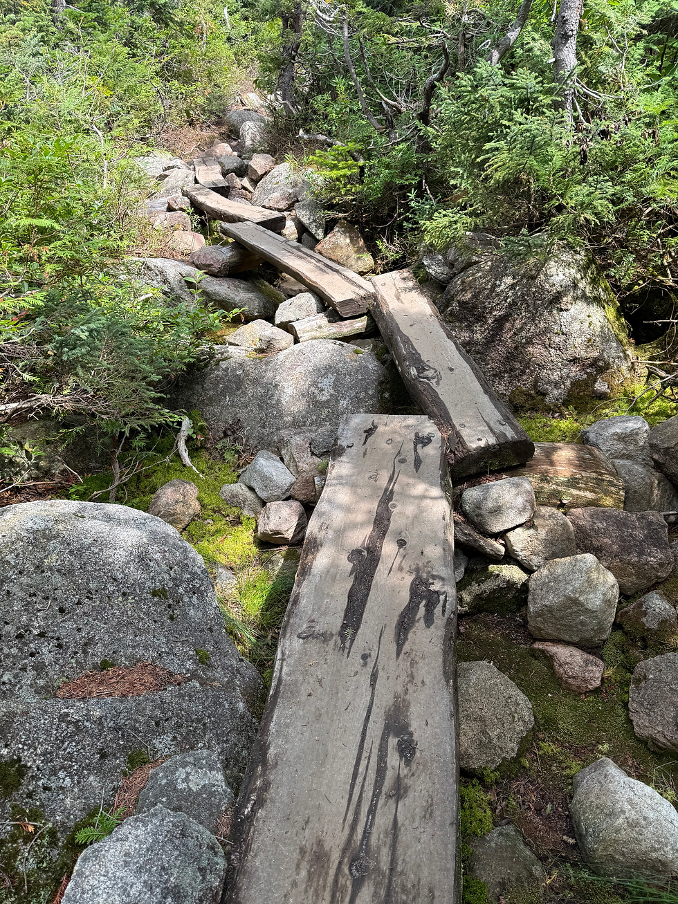
Because I do better uphill than downhill, I made good time on the 3.3 mile hike toward Chimney Pond. Still, I was surprised as I approached the 3 mile turn off and the others had yet to catch up. Self-doubt began to creep in: Was I on the right trail to Chimney Pond? Did I remember climbing over a notably curious rock formation on previous trips? It was reassuring to see the blue blazes on the trees, but might they be showing the way to a different campground? In the two hours of hiking solo, I replayed the three supremely dumb moves I'd made on the hike thus far. I had accepted the map from the ranger at the Park entrance but failed to put it in my knapsack (and I had not downloaded the map from AllTrails when I had connectivity). I had missed the very prominent sign indicating the trail to Chimney Pond, thus sending us in the wrong direction. And I had refused the walkie-talkie, which would have been the source of great reassurance after the second hour on my own. My usual hiking mojo was fast slipping away.
Just before the turn off to Chimney Pond, Fabio and Max caught up with me. Relief! I was on the right trail! Within 30 minutes we all regrouped at Chimney Pond. Lauren recounted her conversation with Katy when they didn't meet us on the trail. "Those guys are the big hiking experts, so we assumed we must have done something wrong." We had a quick snack and posed for the classic group photo in front of the Pond, surrounded by the walls of the Chimney as the backdrop.

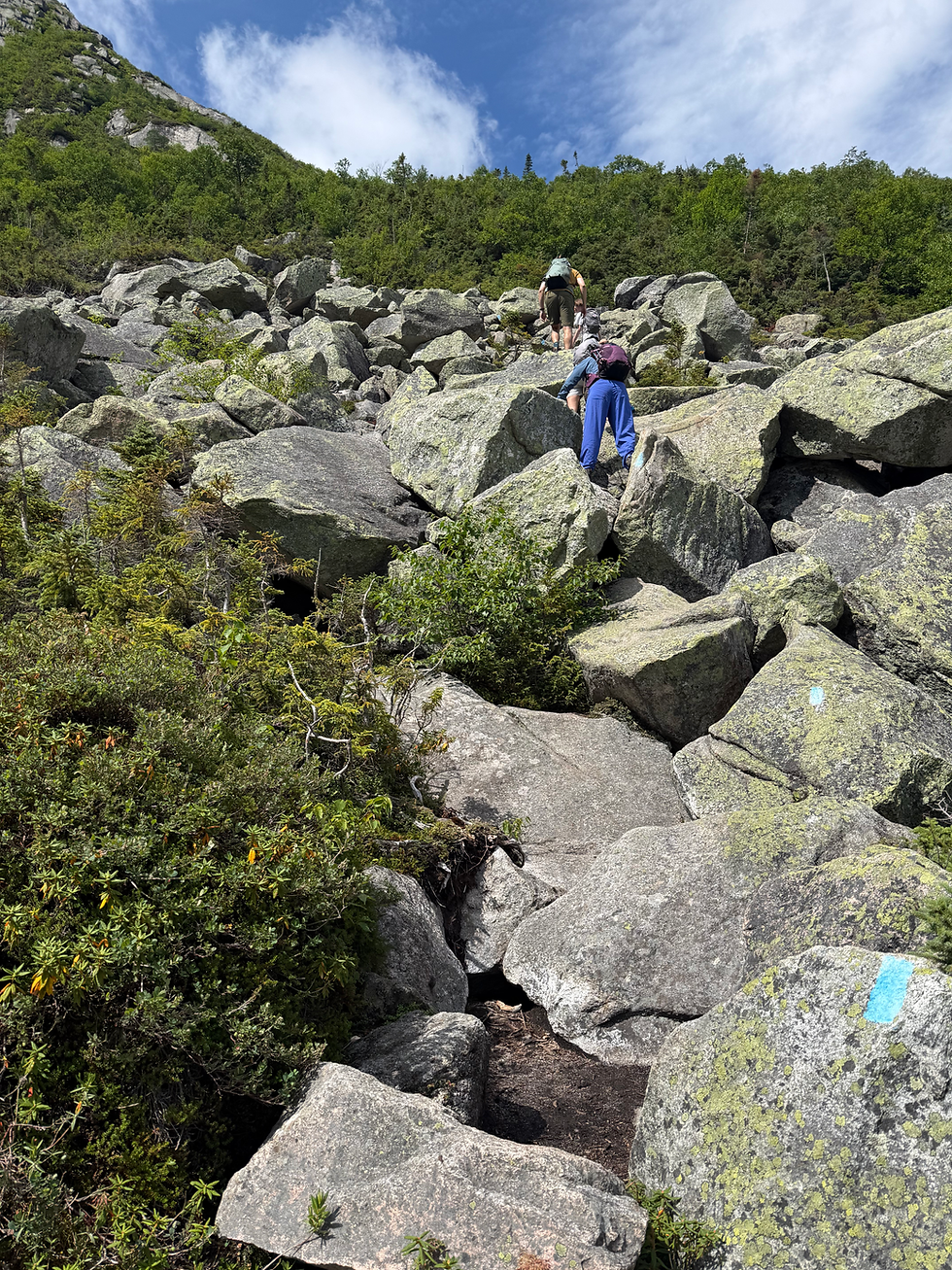
Since the previous day, we'd been debating the merits of taking the Cathedral Trail (a steep bed of boulders, which was shorter and more efficient) or the Saddle Trail (gentler, longer, and more tedious with skree and small rocks) toward the top. Katy and her friends had already decided to climb Cathedral. Dave was inclined toward Saddle. I found myself leaning toward Cathedral, after the FOBSP staff member we'd met the previous night had described the boulders on Cathedral as similar to those on the Abol Trail (which I'd successfully navigated the previous year). It would cut down the time to the summit, giving us a more comfortable margin for returning to the trailhead. Though Dave was still thinking in terms of Saddle, I twisted his arm. All six of us headed off for Cathedral.
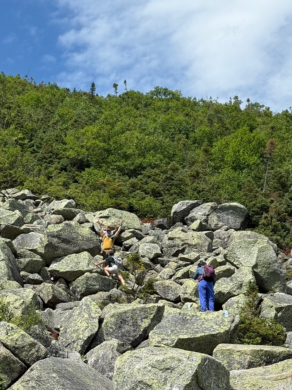
I wasn’t 100 yards into the boulder field when I got cold feet. Whereas my hiking experience in Chamonix a month earlier was more of the variety of one foot in front of the other, however steep the ascent, the boulder field on Cathedral would require a lot more agility: pushing off large rocks with my feet and calves at an angle. From my many PT sessions over the previous year, I knew this particular move was no longer in my skill set. Also, I felt that the first priority needed to be for Max and Katy‘s friends to summit. Even if I did make it up, I feared I would slow them down on the descent, and we were already at least an hour behind schedule, thanks to the trail snafu. For once in my life, I let reason triumph over my competitive drive to reach the summit. I sent the others on their way up Cathedral and agreed to meet them back at Roaring Brook. I did retrieve the walkie-talkie this time and enjoyed a leisurely descent back to the trailhead.
With 3-4 hours on my hands, I decided to take the one mile walk to Sandy Stream Pond, the location in the Park where moose are most likely to congregate. A ranger I encountered at Chimney Pond mentioned that there had been a dozen of them sited several days earlier. I figured that if I couldn’t summit Katahdin, at least I could rub it in with Julie Hernandez that I had seen a moose. (She has now been to Katahdin three times without seeing one.) Several other groups of hikers were there on the shoreline doing the same, and one young guy enthusiastically gestured toward the far end of the pond. "There’s one over there in the cove on the other side." I strained to see what he was seeing; no one had binoculars. After several minutes of this dubious "siting," it was possible to make out a splashing motion coming from that cove. That was as close as I got to seeing a moose.

By the time I’d returned from Sandy Stream Pond to the parking lot at the trailhead, it was 5 o’clock and I’d put in my 30,000 steps. I crawled into the car, reclined the seat, and fell into a deep sleep for 30 minutes. After I awoke, my audiobook and the few remaining snacks in my knapsack held me over until the others returned. Around 7:15 pm, the five of them staggered into the parking lot. I got the full report. Katy, Fabio, and Lauren had made it to Baxter Peak (the summit), then returned via Saddle. Dave and Max had summited, gone over Knife Edge (the longer and more challenging route), and returned via the Dudley Trail. Their collective exhaustion further confirmed that I had made the right decision.

If I needed anything more to justify my decision, it was that we needed two drivers to make the two-hour drive back from Roaring Brook to my camp at Holbrook Pond. Although Dave was very tuckered out, he was used to driving long distances after climbing, so he and Max put the GPS address to the camp in his iPhone and headed out. Feeling greatly rested after my nap, I was able to drive Katy and her two friends back to the camp. As my passengers snoozed, we traveled down the long stretch of I-95 in total darkness, surrounded by dense forest on both sides but guided by the brightly painted lines on the highway.
I was hosting Dave and Max at the camp that evening while Katy and her friends stayed at a friend's camp on the same pond. At 9:30 PM, the chicken Marbella was heating on the stove, and by 10:30 PM, I'd finished washing the dishes. I again reflected on the wise decision of not trying to reach Baxter Peak myself. There was no way I would have been able to hike/summit, drive home, and produce dinner.

The next day we woke up to sunny skies and had breakfast on the picnic table overlooking Holbrook Pond. Dave and Max were off by 8:30 AM to their next set of adventures, which included visiting other highpointer friends and hiking elsewhere. (Does Dave never tire?)

They were barely out of the driveway when my disappointment at my failure to summit began to fester. Given my strong conviction that I had made the right decision, why was I so bummed out that I hadn’t? I reran the scenario multiple times in my head, wondering why I clutched on Cathedral Trail or hadn’t followed Dave’s inclination to take the Saddle Trail up. Two years earlier, I’d hiked with Charlotte Stetson (on a bum knee) with no intention of summiting and was totally satisfied with our hike up to Chimney Pond and back.
That competitive gene was hard to suppress. I jumped back on my computer to check the reservations website at Baxter State Park. Could I find another date in 2026 to give it a second try? Alas, there were no reservations available at any of the three trailheads before September 11, our scheduled date of departure from Maine. After 24 hours of churn, I hit upon another idea. The Traveler Loop, some 10 miles north of Katahdin, offers a close proxy in terms of level of difficulty and panoramic views, and it requires no parking reservation. I had a Plan B…if only I could find a hiking companion.
************


Comments